The influence of the Earth's surface on winds is typically confined to
the lowest kilometre or so of the atmosphere; the effects of friction
cause the wind speed to reduce closer to the ground and the direction
to rotate by 20° - 30° (anticlockwise when viewed from above
in the northern hemisphere and clockwise in the southern hemisphere)
compared to what it is in the 'free atmosphere'. However, where the
winds flow over hills or mountains, the effects of the Earth's surface
can (under suitable conditions) have an influence right the way up
through the atmosphere. This is owing to the generation of a class of
internal gravity waves, known as mountain waves or orographic waves,
which cause the air to oscillate in the vertical direction with
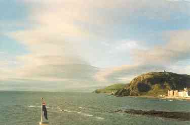
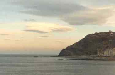
amplitudes of up to a few m s-1. Where the relative
humidity of the air is close to 100%, the (adiabatic) cooling within
the rising portions of the waves can be sufficient for condensation to
occur; this gives rise to the formation of characteristically smooth
lenticular (i.e. lens-shaped) clouds such as those pictured
above. Both pictures (from different occaissions) were taken looking
northwards from the Aberystwyth sea-front, 6 km to the West of the
NERC MST Radar Facility. The MST radar often detects the presence of
such waves when the low-level wind direction is from between North and
South through East, i.e. the directions in which the largest hills are
situated.
 THE NERC MST RADAR FACILITY AT ABERYSTWYTH